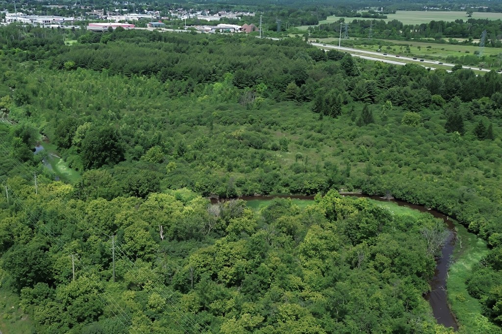
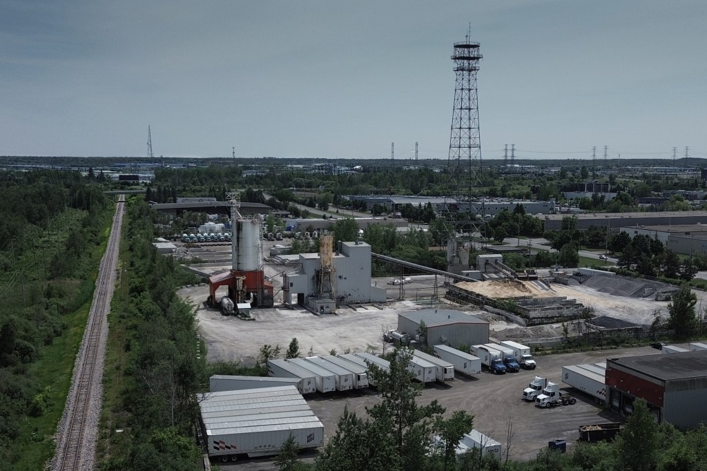
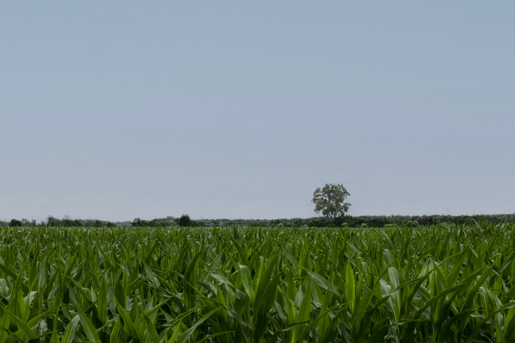
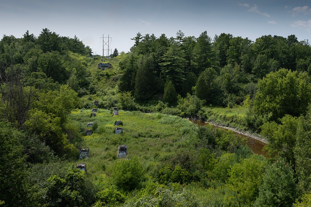
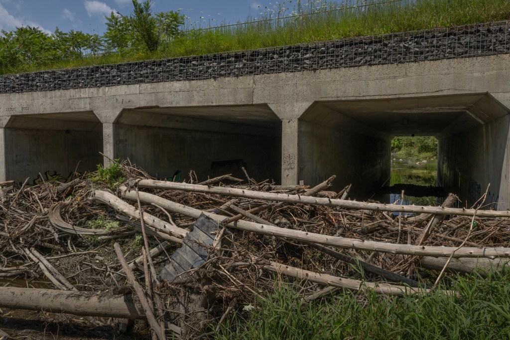
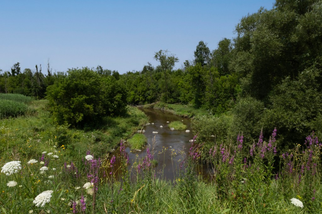
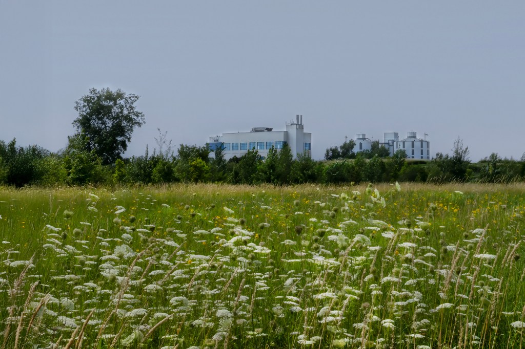
Green’s Creek begins its course wedged between Highway 417 and an industrial park on Sheffield Road. It flows between the VIA Rail tracks and the highway, passing under several train bridges before passing beneath the highway near Ritchie Feed and Seed. From there, it moves behind the Business Costco and into the woods south of Innes Road, where it passes a working farm. It continues into the Greenbelt between Blackburn Hamlet and Beacon Hill, skirting the base of the toboggan hill. After navigating the clogged bridge at St. Joseph Boulevard, choked with years of fallen trees, it drifts past the former site of the drive-in theatre, now the Canotek Road business park. The creek then slips under the highway once more, and makes its final, sluggish journey beside the George-Étienne Cartier Parkway, eventually emptying into the Ottawa River in Orléans.
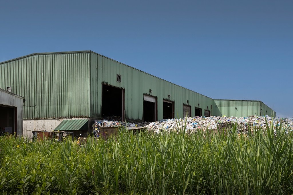
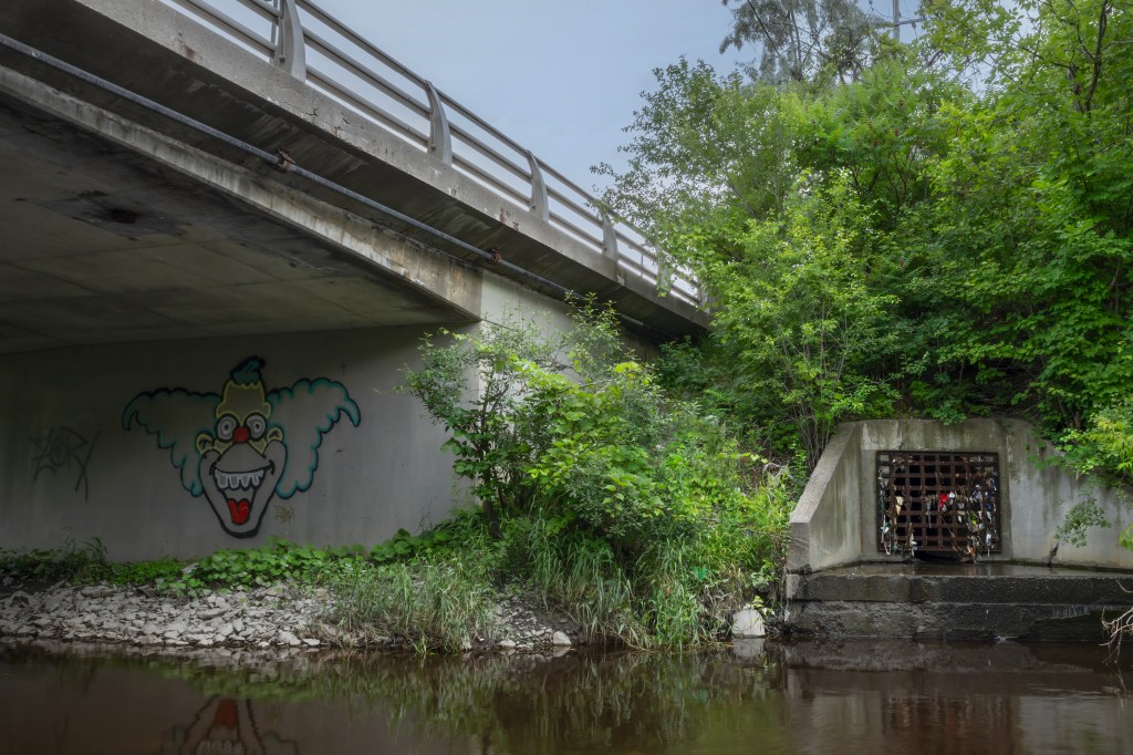
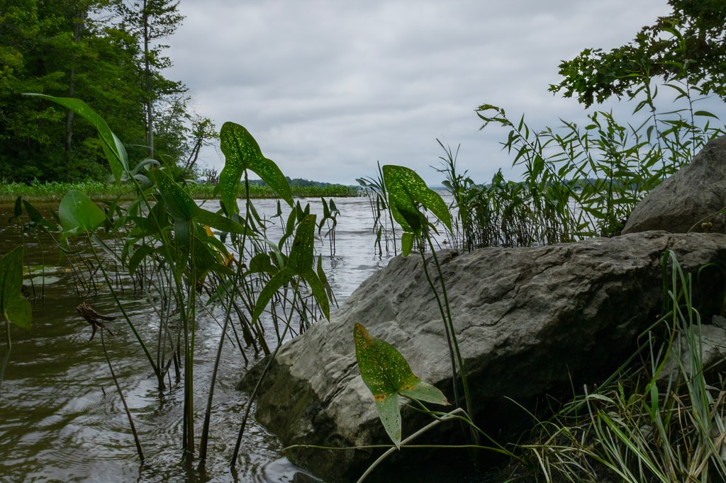
Green’s Creek faces many challenges: stormwater runoff, invasive plant species, erosion, garbage, and pollution. In some areas, the water quality is too poor to support aquatic life. While photographing the creek for this project, I saw it in many states, almost dry, gurgling over rocks, and elsewhere slow-moving and muddy. In some places, it’s a beautiful waterway running through the woods; in others, it’s confined by concrete walls as it snakes under the city’s infrastructure. I was struck by its persistence, how it keeps flowing, no matter what is happening around it or being poured into it.
Green’s Creek tells a story of resilience, but its journey also reveals the environmental pressures our urban landscapes impose on even the most tenacious natural systems.
For more information on Ottawa’s waterways, visit the Rideau Valley Conservation Authority.
For more mapping of Ottawa waterways visit geoOttawa.
